The establishment of the Institute is associated to the Technical Faculty Regulation, dating from January 6th 1897, which considered the foundation of the Institute of Geodesy at the Technical Faculty Civil Engineering Department. The Institute exists continuously since then, except the fact that it changed the original name to its present name - the Institute for Geodesy and Geoinformatics, in 2005.
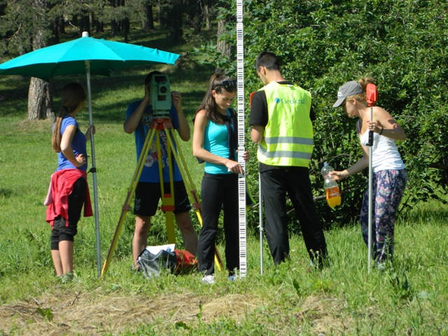
The foundation of the Institute of Geodesy is associated with the demand for creating practical training and teaching conditions in surveying and geodesy at the Technical Faculty. The importance of practical field training has contributed to the experimental laboratory methods organization in geodesy teaching, which preserved to present days.
The current physiognomy of the Institute has been established after World War II, when the first scientific researches, followed by expert projects started. The first steps in dealing with organized scientific and expert issues at the Institute were made in the academic 1957/58 year, when expert and scientific communications and research presentation began.
The Institute has participated in different economic projects since 1962. The number of projects carried out by the Institute rapidly increased, which enabled Institute to make its own funds for the equipment and instruments purchase. These circumstances also provided teaching staff the opportunity to acquire the necessary experience in realization of practical tasks.
A period from 1980 to 1990 was pertinent, when a number of the steady projects and studies were realized at the Institute. During that period, the Institute actively participated in the implementation of capital projects of national level interest such as ''High precision leveling'' and ''Recent crustal movement on the territory of Yugoslavia '' and others.
There are also a lot of important projects and research studies in the field of engineering surveying and geodesy such as '' 1 D and 2D geodetic networks for the construction of the Belgrade highway bypass - E70'', ''Geodetic control network for the project of reconstruction and extension of takeoff and landing runways of the Belgrade airport''.
Nowadays, Institute of Geodesy exists as one of the six operating units of the Faculty of Civil Engineering. The Institute possesses its own measurement and computer equipment, as well as laboratories with modern equipment such as: Laboratory of Photogrammetry, Cartography Laboratory, Laboratory for surveying and the Laboratory for metrology and examination of instruments used in surveying, accredited by the National accreditation board. The Center for scanning and plotting and Active geodetic reference basis of Serbia (AGRBS) center are also under the competence of the Institute.

